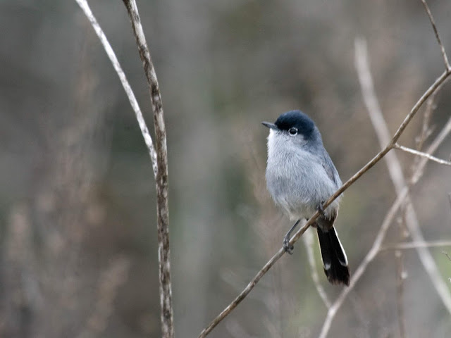
In previous years local birders would slowly drive the 5-mile dead end dirt road to look for unusual winter birds. These include Mountain Bluebirds and Lewis's Woodpeckers nearly every year. Golden Eagles are rare, but regular. Western Kingbirds are common in summer. But, frankly, there have been very few birders visiting here except from late December through January. But still not very many at all. Many birding hotspots in San Diego record more birding visits in one day than the total of all eBird checklists ever entered for Pamo Valley.
eBird bar chart for Pamo Valley Hotspot here.
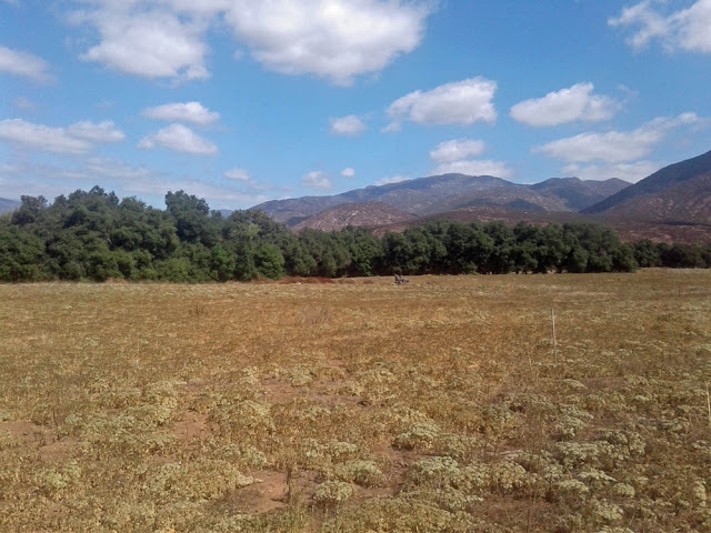
But things have changed recently and there is a decent location now to hike around and visit oak grasslands, coastal sage scrub, and riparian sycamore and cottonwood.
A new 3-mile trail was added in January 2019 to the San Dieguito River Park Coast to Crest Trail. It now connects the Lower Santa Ysabel Truck Trail with the Upper Santa Ysabel Truck Trail along side Pamo Road. Those two trails, plus the new connector trail along Pamo Road create a 12-mile trail section. Most birders will not hike this trail.
Instead, there is a new trailhead parking area at a lush section of the Santa Ysabel Creek.
Getting there: Travel to Ramona via Hwy 78 through Escondido and past the San Diego Zoo Wild Animal Park. Or you can go on the very curvy Highland Valley Road past birding hotspots of the Ramona Grasslands Preserve and Rangeland Road. From San Diego the less curvy route of about 40 miles is to take CA-163 north and then I-15 north to Exit 17, Mercy Road for Scripps Poway Parkway. Then take CA-67 into Ramona. Left on 7th, right on Elm, right on Haverford until it curves left (to the north) and becomes Pamo Road.
Parking: Free.
Hours: Daylight.
Restrooms: Porta-potty.
Map navigation: Orosco Ridge Trailhead, Forest Rte 12S04, Ramona, CA 92065
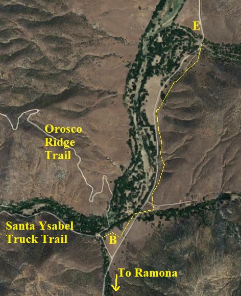
Birding here generally starts on Pamo Road just as you pass the landfill (A on the map above). From here Pamo Road descends a rather steep grade of more than a mile. There always seems to be interesting raptors and other birds, but no real place to pull over and stop.
At the bottom of the grade you come to the new Orosco Ridge Trailhead parking area (B on map). From here it is just over 4 miles to the end of the public road at a ranch house (C on the map). Driving this section of road and pulling over to view birds used to be the only birding here. And it still is enjoyable. But we'll go back to B and spend time there after I first tell you about other areas on the map above.
I have driven Pamo Road in April at night and recorded Western Screech-Owl, Great Horned Owl, and Common Poorwill.
Nearby at Black Canyon Road:
As you leave Ramona via CA-78 on the north end of town you can turn north on Magnolia Street, which becomes Black Canyon Road. This is another little valley, but dry chaparral. In spring it has Bell's Sparrows and similar birds. There is a riparian area to park at the old Black Canyon Bridge (D on the map). I wrote a site guide several years ago to Black Canyon Road. You can drive from Black Canyon Road to Lake Sutherland and back to Ramona and CA-78 via Sutherland Dam Road.
I have driven north 14 miles from Black Canyon bridge (D) to Lake Henshaw via Mesa Grande.
You can hike from Pamo Valley to Black Canyon Road (B to D) but you cannot drive easily between the two valleys.
Where to bird: Orosco Ridge Trailhead
Okay, back to the Orosco Ridge Trailhead (B on the map above and below).
The new trail parallels Pamo Road. The first 1.25 miles of trail (highlighted with thin yellow line above) crosses riparian zones twice. It would be good for roadside and grassland birds. At each of the little creek crossings there will be Oak Titmouses, Spotted Towhees, Acorn Woodpeckers, American Kestrels, Western Bluebirds.
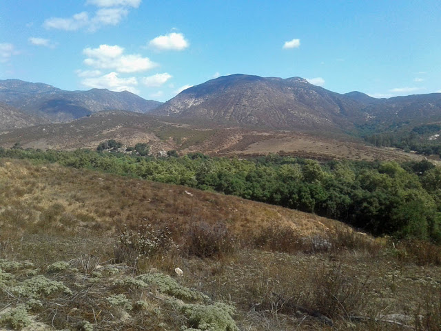
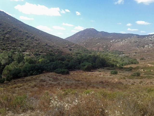
But walking down into the riparian from the trailhead is likely to be most productive. In my short visit at noon in September 2019 I found House Wrens, Nuttall's Woodpeckers, Lesser Goldfinches, Spotted Towhee, a Red-shouldered Hawk, Western Wood-Pewee. I heard Wrentits. I walked a short distance up the Orosco Ridge trail--to the second hairpin turn--where a pair of Rock Wrens were flitting about in the hillside.
The creek bottom was dry and the lush grass amid the trees was cut short by cows that graze there. A group of Wild Turkeys eyed me warily. I think this area could be quite productive in spring. I would just walk at the edges of the stream bottom, as I assume the ground would be damp in spring.
I think that it may also be interesting to walk a ways down the riparian along the Santa Ysabel Truck Trail. I imagine that chaparral sparrows would be good in April, and neotropical migrants would be good in May.
Pamo Valley is a pleasant place to watch roadside birds. Now there's even more opportunities to visit with some walking into the oak and riparian creek bottom that hasn't been available until recently.


